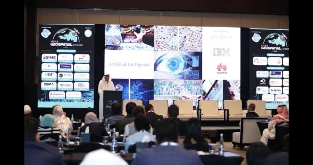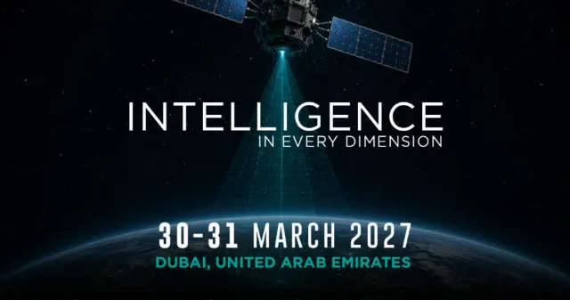
We are back for the 6TH edition of the MENA Geospatial & Space Technology Forum (GIS MENA), bringing together senior government officials, geospatial leaders, space organisations, technology innovators and industry decision-makers from across the region. The two-day conference will explore how geospatial intelligence and space technology are transforming the way we understand, plan and manage our world.
With keynote addresses, project showcases, expert panel discussions and industry presentations, alongside a technology-led trade floor, the Forum connects the latest thinking with the technologies and real-world innovations shaping the future of the geospatial and space sectors.
KEY FOCUS AREAS
Geospatial Intelligence, GIS and AI: Real-time intelligence, spatial analytics, AI-powered mapping and predictive decision-making.
Space Technology, Satellite Imagery and Earth Observation: Satellite data, remote sensing and Earth observation supporting infrastructure, security and environmental monitoring.
Digital Twins, Smart Cities and Connected Infrastructure: GIS, IoT, 3D modelling and digital twins transforming how cities and infrastructure are planned and managed.
Geospatial Intelligence for Resilience, Security and Sustainability: Geospatial intelligence supporting defence, disaster response, climate resilience, transport, utilities and environmental management.